
JRC Global Surface Water dataset available in Hydrology TEP
The European Commission’s Joint Research Centre (JRC) developed the JRC Global Surface Water dataset in the framework of the Copernicus Programme. This maps the location and temporal distribution of water surfaces at the global scale over the past 32 years and provides statistics on the extent and change of those water surfaces.
This dataset is used in the identification of the virtual stations for the FANFAR Water Level service
The landing page for the data access is here:https://global-surface-water.appspot.com/download
The dataset is provided as 10x10 degrees tiles and they’re available via a google storage
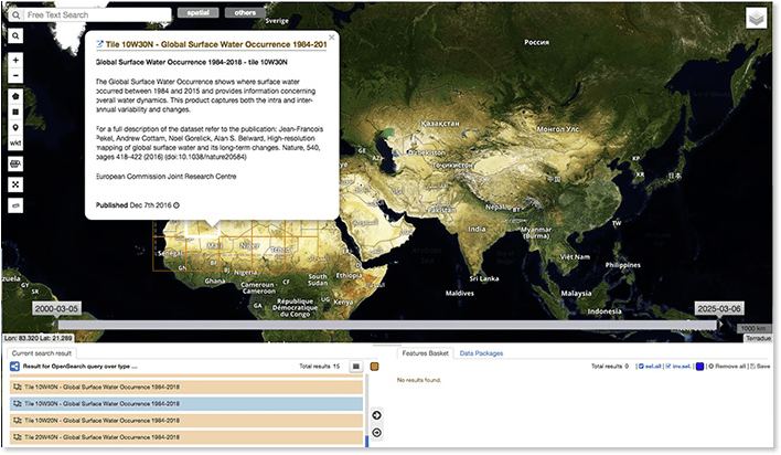
On Hydrology TEP, this dataset can be added to Thematic Apps:
And exploited via Jupyter Notebooks:
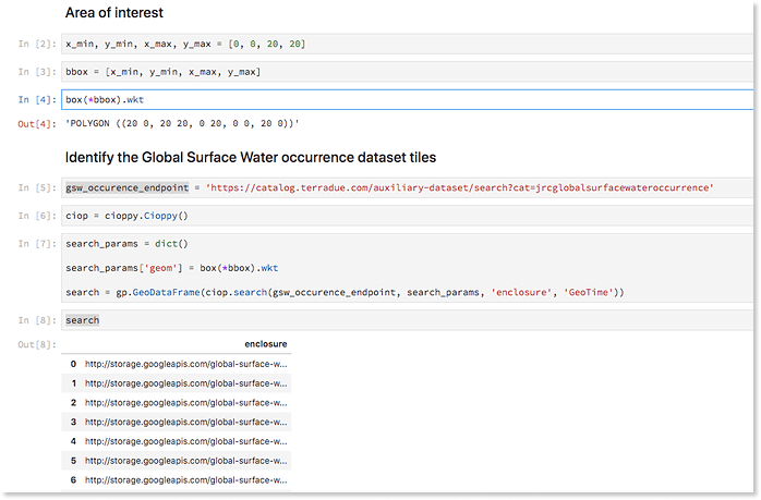
or Ellip Workflows via the catalogue end points e.g. for the Global Surface Water Occurrences.